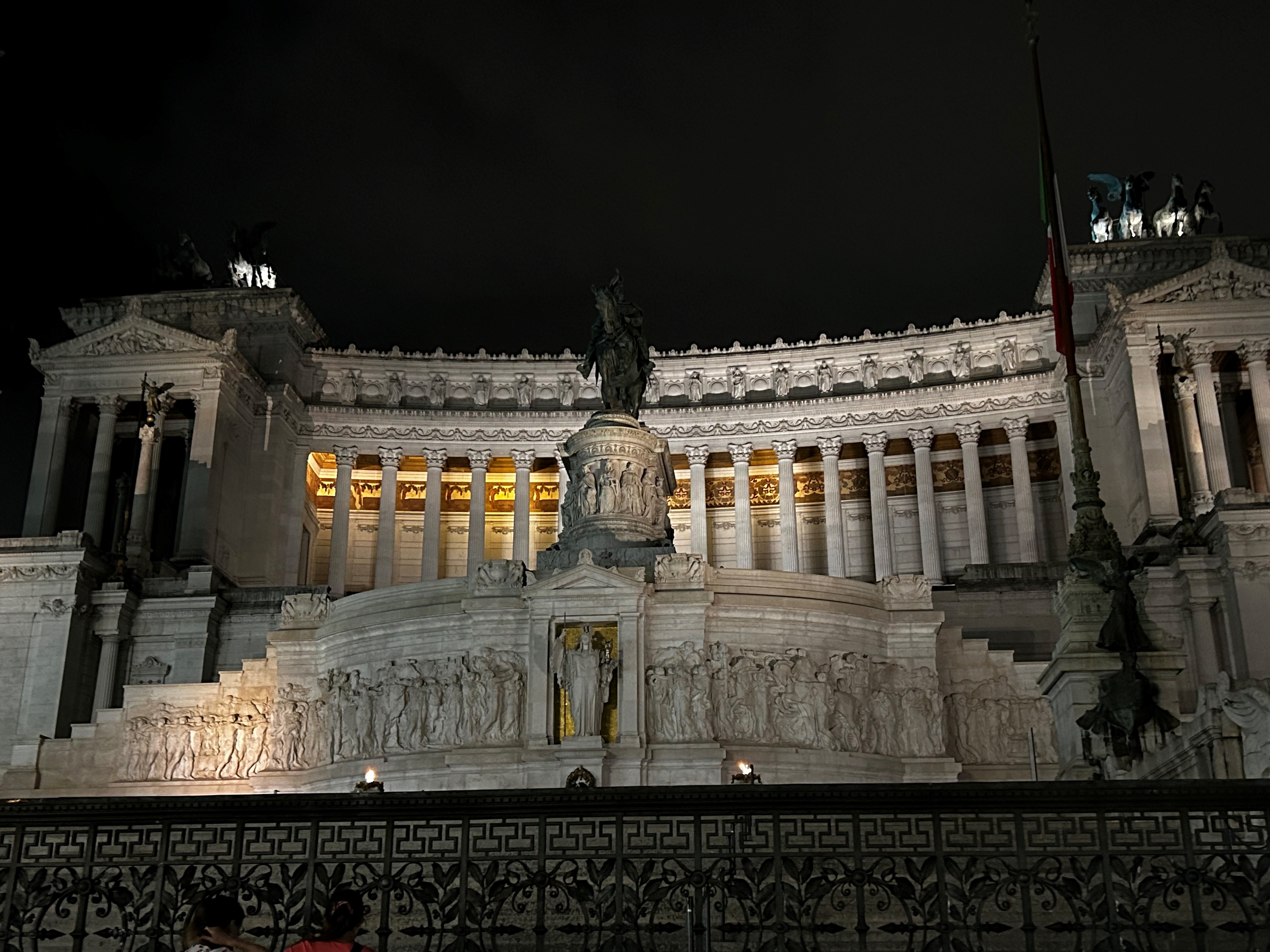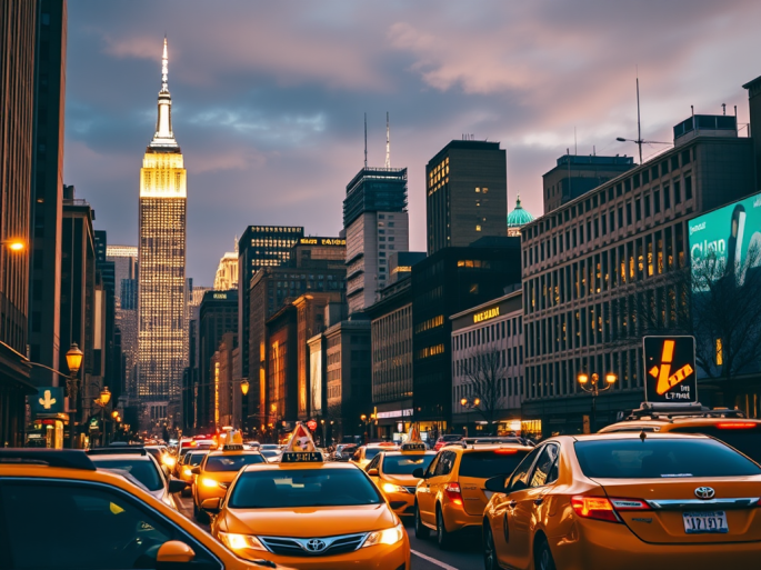
As October was my wife Josanne’s birthday, I’d been looking for something to do for it that was a little less “normal”. New York (and particularly Manhattan) has been on both of our Bucket Lists for some time, but the distance from NZ had always been a challenge. That is until direct flights from Auckland to JFK came along. I managed to score a fantastic deal on return flights, which set the wheels in motion for adding a tick to that particular bucket list item. Despite the hotel costs and the feeble Kiwi dollar erasing any savings from the flights, the allure of New York was irresistible. Thanks to the direct flights (via both Qantas and Air New Zealand), the once-daunting distance is no longer a barrier, as long as you’re willing to endure over 16 hours in the air there and over 15 on the way back. We were more than ready to embrace the journey for a whirlwind six-night stay on East 32nd Street, a prime spot for lovers of Korean and Japanese cuisine.
Our choice of airline was Qantas, and while the prospect of spending over 16 hours in economy didn’t exactly thrill me, we were prepared to make the best of it. Opting for the middle three seats on the Boeing 787-9, configured in a 3-3-3 layout, seemed a wise decision as this would ensure no climbing over strangers to reach the aisle. Fortune smiled upon us, as we ended up with all three seats to ourselves on both legs. Surprisingly, the flight had no notable turbulence disrupting our journey in either direction. The seatbelt sign was only on for take-off and landing across the entire 32 hours’ worth of flying. This felt like a real rarity.
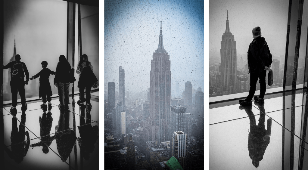
Upon landing at JFK airport, we faced the choice of navigating public transport or indulging in a traditional yellow cab ride (though they don’t look like they used to on the TV when I was much younger any more, mainly being replaced with hybrid Japanese variants. After 17 hours in the air, we opted for the cab’s set fare as it felt like a small price for a hassle-free ride to our hotel. We checked into the HGU Hotel at 34 East 32nd Street, quickly changed, and set off to explore. Sleep was not on the agenda; instead, we wandered the streets, soaking in the vibrant energy of New York. Our hotel’s location proved ideal, as it was a short stroll from the Empire State Building, Koreatown, and 5th Avenue. That evening, we meandered up 5th Avenue, taking the opportunity to get some photos of the Empire State Building, the Rockefeller Centre, the Chrysler Building as well as perusing the shops on 5th Avenue (many of which were closed as it was Sunday evening). Having eaten plenty on the plane, we didn’t feel the urge to eat anything but stopped at a 7/11 to grab some supplies for the room, before retreating to our hotel, where (not for the only night), it turned out that my jetlag would ensure that I was like New York and would never sleep!

Before our departure, we had planned our itinerary, ensuring we wouldn’t miss out on the city’s iconic sights that we both wanted to see:
- The Gilded Age Mansions Tour (Josanne’s pick, not mine),
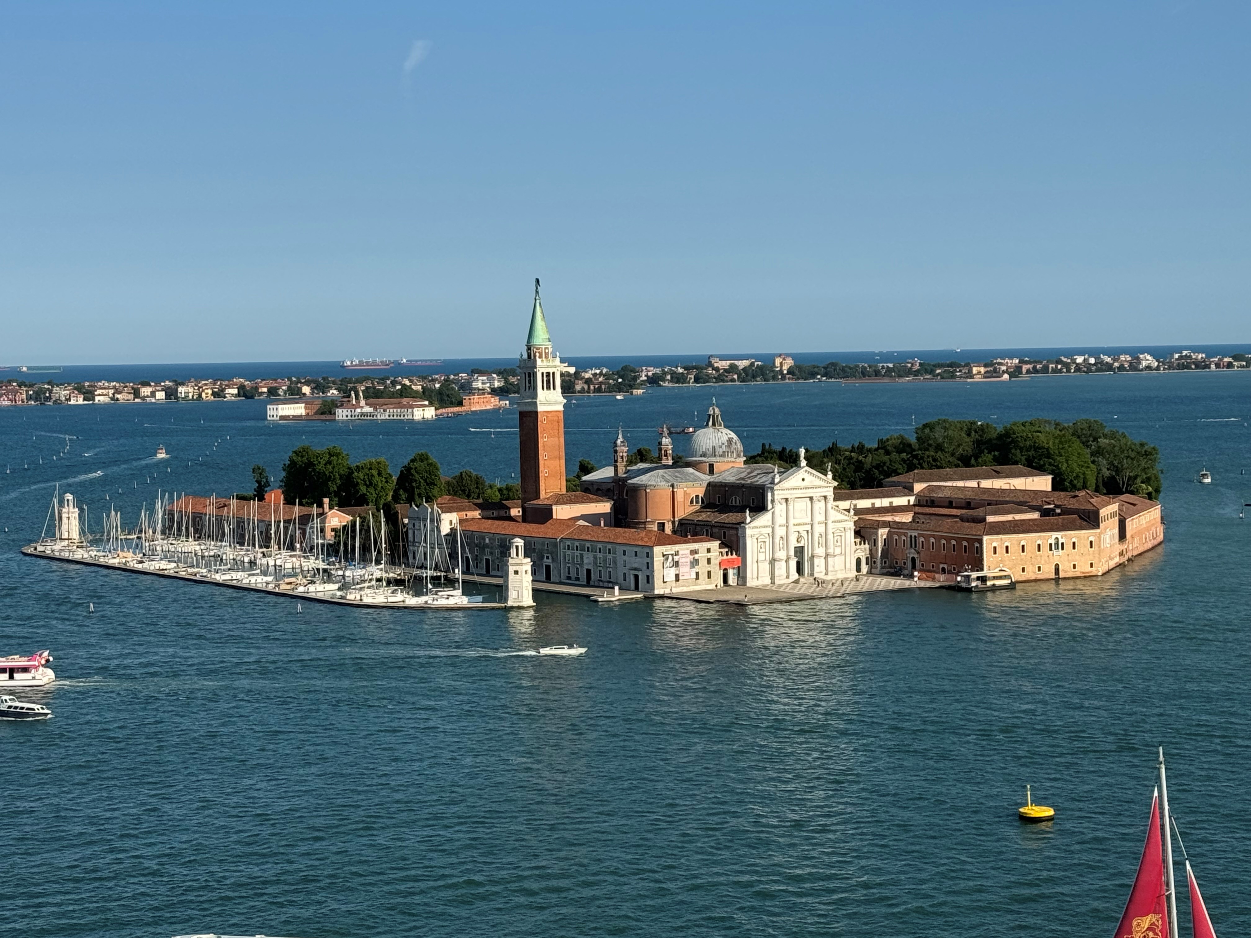
- The Statue of Liberty and Ellis Island,
- The 9/11 Memorial Museum,
- The Brooklyn Bridge (including a photo of the Manhattan Bridge from Dumbo),
- The Intrepid Museum (my choice, balancing the scales),
- Times Square and Broadway,
- A sky-high view from SUMMIT One Vanderbilt, and
- The Metropolitan Museum of Art.
I enlisted AI to craft an optimal schedule, factoring in walking distances and dining options near each landmark. Claude AI delivered admirably, and our plans unfolded seamlessly. Both avid walkers, we clocked 16-20km on our first two days, immersing ourselves in the city’s vibrant tapestry. I’d hoped that this would see me suitably tired to sleep well, but that was not to be. Subsequent days involved less walking but were equally filled with exploration, with our hotel serving merely as a pit stop (although the room was small, it was clean and tidy with a lovely king size bed and a good shower).
I’d deliberately left the morning of the first full day free so that we could have a slow and steady start. As we were both jetlagged, we were up nice and early so went exploring straight away in any case. We’d slightly misjudged the cold wind, so while we’d taken our puffer jackets, we hadn’t worn them on day 1. When you got out of the sunshine (which is pretty easy when surrounded by so many skyscrapers), the wind was cutting through our lack of layers. There was a good lesson learned that day that stood us in good stead for the remainder of our stay however!
We headed out for a spot of breakfast (a NY bagel, what else are you going to eat for your first breakfast in NY?) and then headed West across to the Hudson Yards. We popped into a mall (which was still in the process of opening), but it was nice and warm compared to the chilling wind outside.
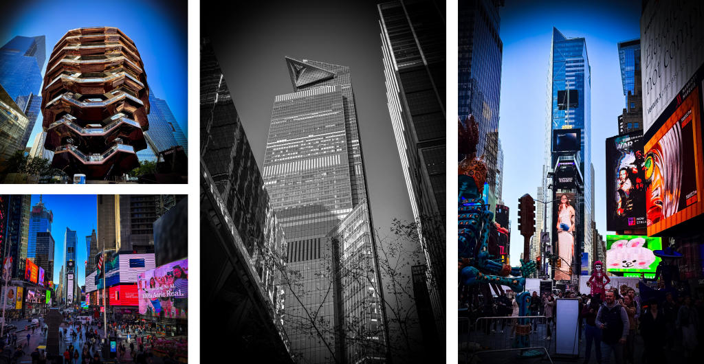
We then headed northwards and swung through Times Square which was pretty busy, including with buskers trying to get their photos taken (for money of course) but none of them bothered us and we managed a few photos as well as popping into a couple of the shops.
We kept heading north as our tour was starting up at East 78th Street. We decided it was a good opportunity to visit Central Park given that we had to pass the start of it to get there. Don’t let the photos fool you though, that wind was getting right into your bones! We took a few photos and sat down on a bench to watch the world pass by, given that we were still slightly early for our 1.30pm tour.

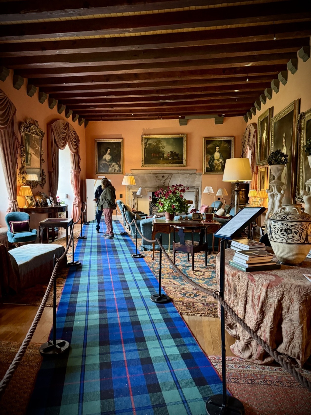
The Gilded Age Mansions tour took us around several of the famous mansions in what’s probably the boundary between Midtown and Upper Manhattan. You did get to go inside some of them while being told of their history and previous owners. I clearly wasn’t as enthused about it as Josanne was as I don’t have too many photos from them, at least none that are any good! It was an enjoyable and informative tour though, and definitely aided in getting some of those early day kilometres in!
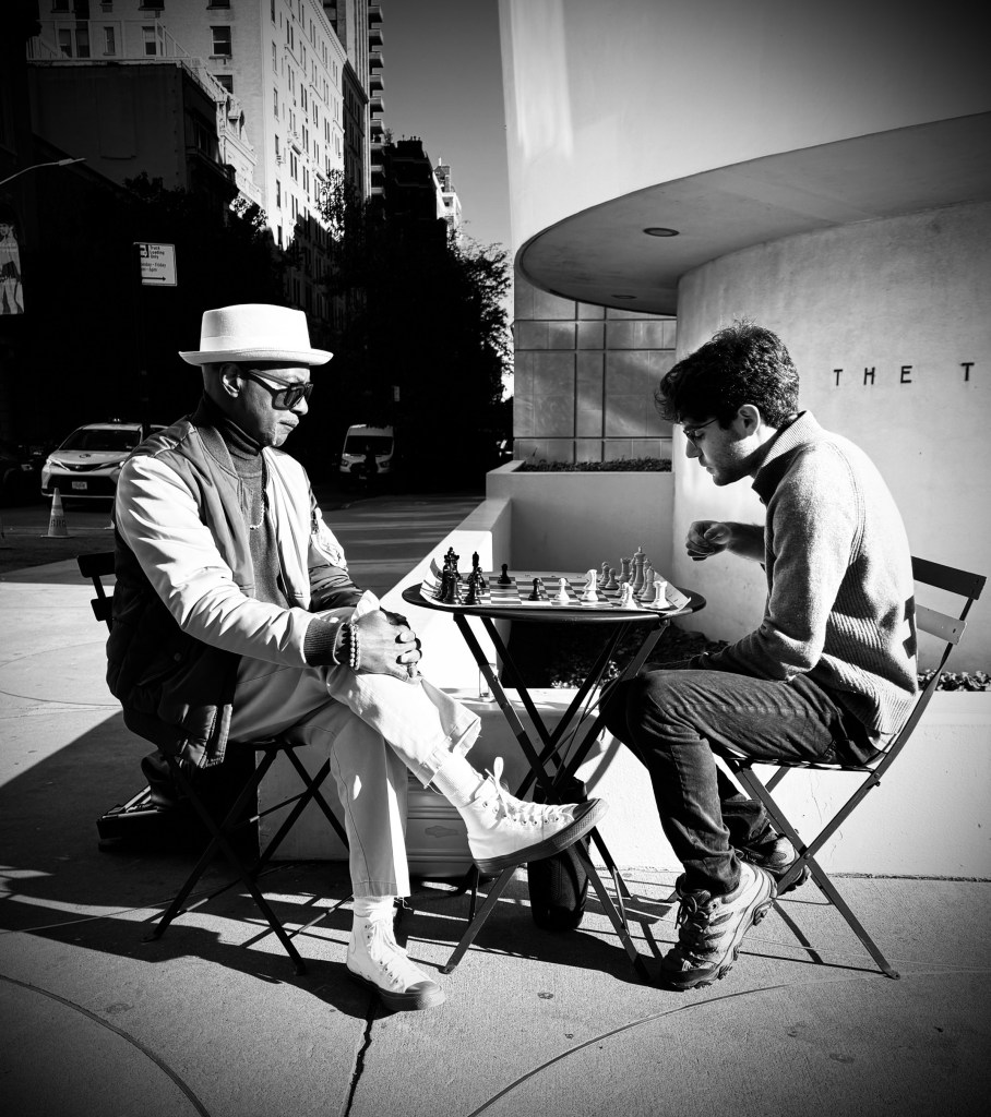
On the way back, we meandered down 5th Avenue, stopping to look at shops and buildings. While we didn’t go into the Guggenheim Museum, I did get one of my favourite photos of my trip from outside it. A couple of gents were playing chess and for some reason I thought it would be a great photo in black and white. I’d taken a couple and then the gent on the left crossed his legs and I thought “bingo”, that’s the shot I was looking for. I’ll let you decide, but I thought it was a good photo for me.
From here, we headed back to the hotel, stopping at Trump Tower for a photo and then had a shower before heading out to one of the restaurants in Koreatown for dinner. Though it wasn’t a late night, I did my best to stay awake till after 11pm, thinking this would surely let me sleep through the night. I was wrong, and was wide awake again at 2.30am.

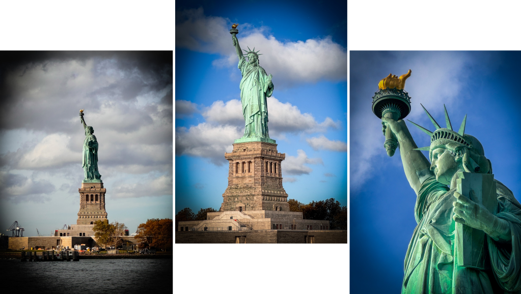
Day 2 was the one day that we had two main activities planned. In the morning, we had to make our way to Battery Park, where we would pick up the tour for the Statue of Liberty and Ellis Island. We had to be there for 9am.
While it again looked like the weather was OK, it was an even colder wind than the day before but we’d learnt our lesson and went out with puffer jackets on. We made our way down to the start point and had a coffee and muffin at the Starbucks close to the subway station.
The tour started at Castle Clinton National Monument at Battery Park, where a brief overview of the history of the area was shared, before jumping on the ferry to the Statue of Liberty. If you’ve never done this before, make sure that you are on the right-hand side of the boat as the best views are from there.
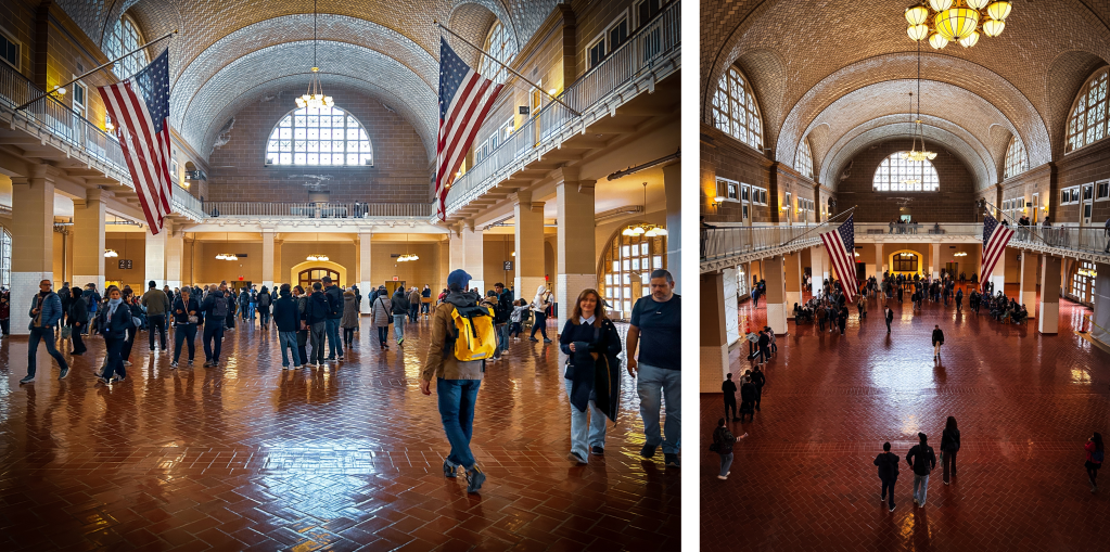
Once on the Island, our tour guide gave us a run-through of the history, took some individual and group photos for us and then let us explore the area for a while before getting back on the boat and heading to Ellis Island.
Once there, we were given an overview of what those arriving into the United States went through before having the rest of the time to ourselves to explore. Josanne and I spent a couple of hours here before jumping back on the boat as we had a tour of the 9/11 Museum that started at 3pm. We stopped in the Financial District for lunch, where we just grabbed some sushi from a food hall.
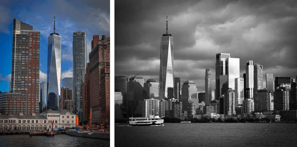
We arrived a little bit early at the 9/11 Memorial Museum, so spent some time walking around outside and taking in the enormity of what took place on that fateful day. We also popped into the World Trade Centre Shopping Mall, about a third of which survived the collapse of the Twin Towers.
Even outside, it is a moving experience and I have to say that those in the area seemed to be very respectful. We took some photos of the new World Trade Centre, along with the Remembrance Ponds. The names of all those who perished are emblazoned around the side of these, and there were white roses on some. Josanne tells me that is usually to signify that it is someone’s birthday.

As with many exhibits, there is airport-style security to get inside the 9/11 Memorial Museum, so it pays to give yourself plenty of time if there is a set start time for your tour.
We’d decided that as we were in this part of Manhattan that we would also visit the Brooklyn Bridge. Despite the cold it was very busy, so unobstructed photos aren’t a happening thing.
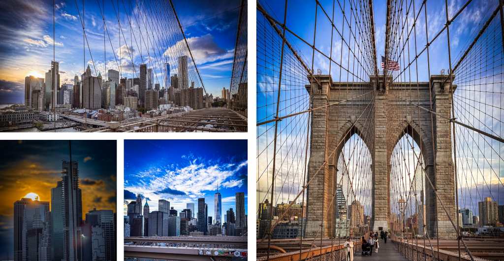
We headed from Manhattan to Brooklyn while it was still light. I wanted to get the photo of the Manhattan Bridge that you get between the two buildings in the Dumbo region. It was easy to find, though I did check on Google maps to ensure we were headed in the right direction.

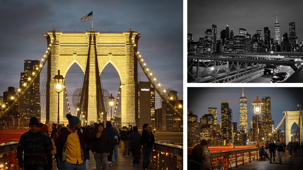
We took some photos (again, you have to be adaptable to try to get one without lots of people in), before heading to a local Dumbo Italian restaurant for the traditional slice (or two if you are me) of pizza and a beer! This meant that it was dark for the return leg of the trip over the Brooklyn Bridge, enabling a different perspective.
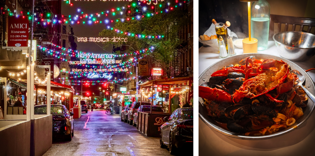
On getting back to the Manhattan side of the bridge, there was a sign for Chinatown, so we thought that we may as well walk there for a look around. We inadvertently found Little Italy and made the decision to head back there for dinner the following night.
This was a fairly full-on day and still I didn’t get a good night’s sleep due to the jetlag, and even the melatonin that I was taking seemed to do nothing. While I got to sleep easily, I woke up really early. I decided that I may as well use that time of being awake to lie in bed and catch up with some podcasts that I listen to, so it wasn’t wasted.
Day 3 saw us heading to Pier 86 to visit the Intrepid Air and Space Museum. This started with a visit to the Submarine USS Growler (I’m assuming that name isn’t as amusing in US English as it is in British English) before heading to the USS Intrepid Aircraft Carrier. The Space Shuttle Enterprise is also housed at the back of the Carrier, and there is even a Concord alongside it on the dock. It’s a strange set-up but it sort of works.

I’d been in touch with the Big Apple Bears Rangers Supporters Club and they were showing the live game of Hibernian vs Rangers, so once we’d finished looking around, we headed along to that via some stores where Josanne did some shopping. Unusually, Rangers won. We had a couple of beers and then headed back to the hotel.
We knew that Day 4 was scheduled to be the one rainy day of the trip and it delivered in the proverbial cats and dogs. It rained very heavily for most of the day. We used the opportunity to go shopping at Macy’s in the morning (it was only around a 10-minute walk from the hotel). We had a good few hours in the dry (all 11 floors of the dry) before having to head back to the hotel with our shopping. We were drenched but we kept the shopping fairly dry. It was brollies and raincoats over the shower in a half-hearted attempt to get them to dry out before our second excursion of the day; a trip up SUMMIT One Vanderbilt.
Our tour was scheduled to start at 3pm. We headed up there getting soaked (again) and we were unsure whether or not we’d actually get a view of anything from the top. On checking in, we were advised that the visibility at the top was negligible, but as it was already paid for, we decided that we’d give it a go in any case. When we first got to the top (and that elevator moves at some speed by the way), we couldn’t see anything, but it gradually cleared sufficiently to get a view. Josanne reckoned that she could feel the building swaying, but I certainly didn’t feel anything. We did manage to get some photos, even though the view wasn’t the best. I can imagine that it is stunning on a clear day.
There were multiple different levels to pass through and I thought the one with the bouncing helium balloons was very cool, as was the one with all the mirrors. There were definitely some up there who were struggling with a fear of heights, but most seemed to be enjoying themselves. Due to the weather, no-one was allowed in the outside section, so when we got to the very top, it was off to the elevator to head back down again. While it would have been fantastic to have been up there on a clear day, we both still had a great time and were glad that we didn’t call it off when shown the view from the top.

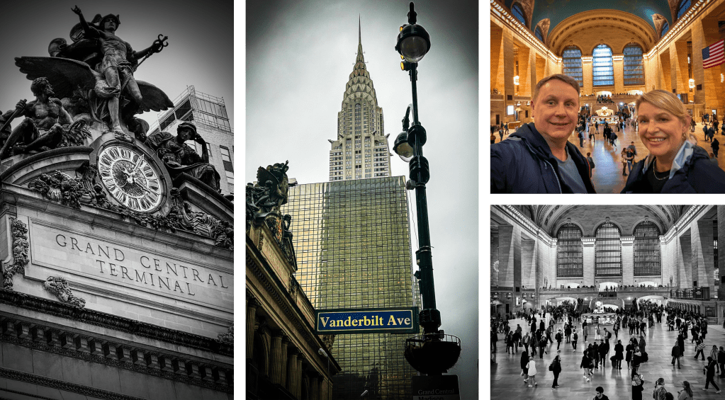
As we were very close to Grand Central Station, we took the opportunity to pop in there and have a look. While there were plenty of people there to use the transport, there were also a large number of tourists in there and it’s definitely an impressive station to visit. Plus, it kept us out of the rain for a further 25 minutes or so.
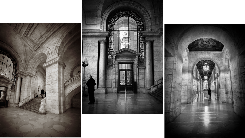
On the way back to the hotel, we also popped into the library. Josanne spent around 15 minutes in the shop there looking around, though I was more interested in the architecture.
It was another long day, but as the rain had stopped by the evening, we decided that we would still catch the subway down to Little Italy. We checked Google for recommendations and opted for one of the more popular restaurants. We decided to share a seafood pasta dish, which was delicious but would have cost about half the amount had we eaten it back in Auckland (definitely don’t be comparing prices though, or you’ll be too afraid to eat or buy anything).
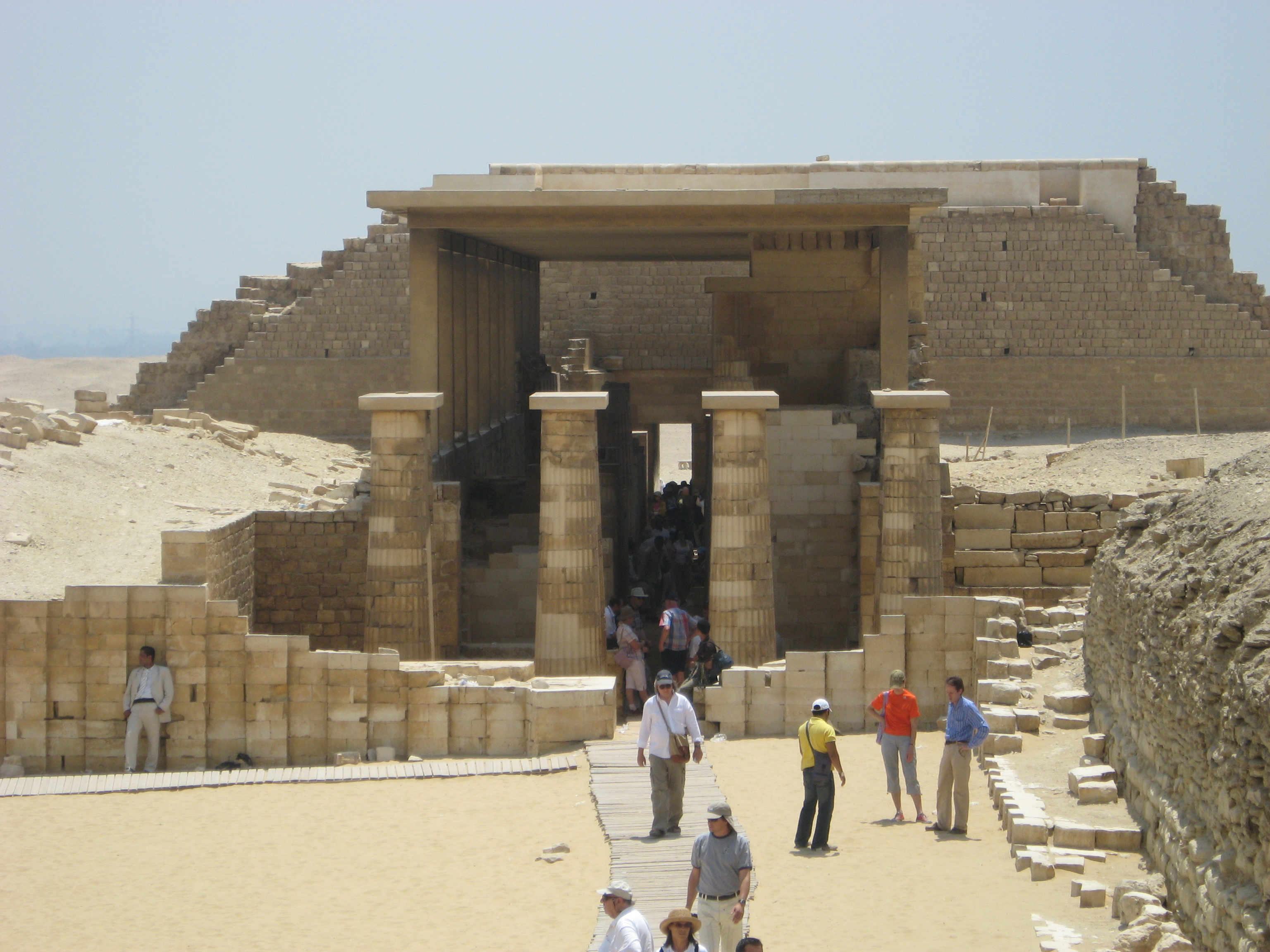
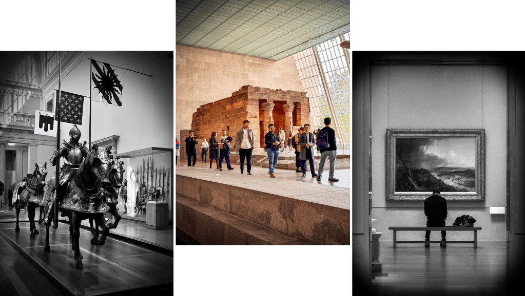
I think I actually slept through till around 3.30am on Day 5, which was a good result as far as I was concerned. By now I’d given up on getting over the jetlag before heading back, so it was more nighttime podcasts for me! We only had one thing planned for today, which was a guided tour of the Metropolitan Museum of Art. We walked up there again (which was up at 82nd street, so another decent walk to get there). The tour was scheduled to start at 10.30 and our guide took us through some of the main points at breakneck speed. We weren’t worried as it gave us some ideas of where to go back to at the end of the tour, given that you could stay in the museum after it. We probably spent most of our time in the Egyptian section, given that it was something that Josanne studied at University and is a time and place that I also find utterly fascinating.
We spent a good few hours here before taking a leisurely stroll back to the hotel, stopping to view the patrons at a couple of open-air ice rinks before stopping at a small market for a very tasty hot chocolate. We had planned on heading to the Halloween Parade on 6th Avenue but figured we’d walked far enough that day, so headed off to another restaurant in Koreatown for a bite to eat instead.
As we didn’t leave until late in the day on day 6, we had breakfast and headed back up to Macy’s for some last-minute shopping. I bought a pair of Ted Baker shoes (with Josanne trying to talk me into buying two pairs) and a pair of trainers. From there, it was off to lunch at a traditional delicatessen for a Reuben’s sandwich for lunch. We knew that, like a slice of pizza, we had to try this here and this was our last opportunity. We had, however, seen how large they were so opted to share one. The waitress didn’t seem surprised, so it’s maybe not that unusual.

Then it was a case of booking out of the hotel and heading to the airport. We flew out of Terminal 8, which isn’t a particularly great terminal, but it was time to sit and relax after what was a whistlestop tour where we got through so much. Was it tiring? Sure it was. Probably not helped by jetlag, but it was fine and it ticked off a bucket list activity for both of us. Six days was probably a perfect duration for us. It enabled us to get around and see what we’d had on our itinerary. We did use the subway occasionally, but preferred to walk to make sure we weren’t missing out on the sights and sounds. It’s a very easy city to get around both walking (you just need to know the avenue and the street and whether it’s east or west and you will never be able to get lost). Similarly, the subway is very easy to follow and Google will even tell you which entrance you need for where you are heading.
Will we go back? I genuinely don’t know. I think that if New York was a stop-off for a flight back to Europe, we possibly would. But I don’t think I’d need to go and do it all again. It was a bucket list destination and there are plenty of other ones on the list still. But it was an incredibly worthwhile trip. I’m glad we did it in October and not the height of summer though, as the temperature, whilst a bit on the chilly side at times, was excellent for exploring.
One of the most surprising pieces for me was the incessant smell of people smoking marijuana on the streets. We noticed that on the first night and all the way through you could smell it everywhere you went. It is legal in New York, so maybe the surprise was that I was surprised!
Useful Tips for Travelling to New York:
- Pack Smart: The weather in October can be quite chilly, especially with the wind, so make sure to pack warm clothes, including a good puffer jacket. Layers are your friend!
- Plan Your Itinerary: With so much to see, planning ahead is key. Use tools like Google Maps to plan walking routes and check out dining options near your destinations. I used Claude AI to help me plan an itinerary.
- Use Public Transport: The subway is efficient and easy to navigate. Google Maps can help you find the right entrances and exits. It’s cheap and easy.
- Be Prepared for Security: Many attractions, especially museums, have airport-style security checks. Allow extra time for these.
- Try Local Delicacies: Don’t miss out on iconic New York foods like bagels, pizza, and Reuben sandwiches. Sharing is a good option if portions seem large.
- Embrace the Walk: Walking is one of the best ways to soak in the city’s atmosphere. Just remember to wear comfortable shoes and clothes!
- Expect the Unexpected: From street performers to the aroma of marijuana, New York is full of surprises. Keep an open mind and enjoy the experience!
- Jetlag Strategies: If jetlag hits, use the time to catch up on podcasts or relax. Sometimes, it’s best to go with the flow. Don’t use it as an excuse to spend more time in bed in the morning, especially if you are only there for a short time.
- Capture the Moments: Whether it’s the iconic skyline or a candid street scene, keep your camera ready to capture those unforgettable memories.
- Travel Insurance: Don’t, under any circumstances, go to the US without travel insurance. It’s genuinely not worth the risk if something should happen to you while you are there.